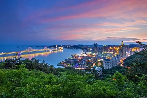
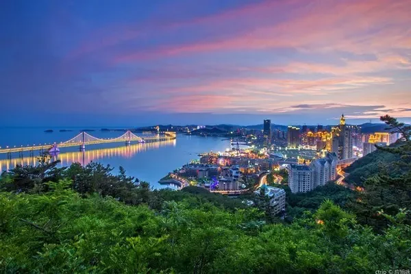
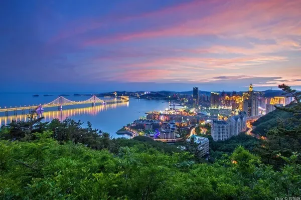
As the saying goes, "If you haven't been to Xinjiang, you don't know the size of China, and if you haven't been to Xinjiang, you don't know the beauty of China." Xinjiang is a world-famous hometown of melons, fruits, singing and dancing, and a land of gold and jade. Its vast land area accounts for one-sixth of China's land. Urumqi, the capital of Xinjiang, is the geographic center of Asia.
July 28-August 3, 2011 - I am in the northwest of the motherland, I am on the Silk Road, I am in the center of Asia, and I am in Urumqi!
journey:
Day 1 Urumqi: International Grand Bazaar
Day 2 Turpan: Flame Mountain - Grape Valley - Karez Well
The third day Tianchi - Karamay
Day 4 Devil City - Colorful Beach
Day 5 Burqin-Kanas
Day 6 Baihaba Border - Kanas - Urumqi
Day 7 Urumqi-Shanghai
Day 1 Urumqi - International Grand Bazaar Dinner
There is a 2-hour time difference between Xinjiang and the mainland. Xinjiang goes to work at 9:30 and 10:00, lunch at 14:00, and dinner at 20:00. When we arrived, it was already past 9:00 p.m. Beijing time.
The Xinjiang International Grand Bazaar in Tianshan District, Urumqi City is a must-see for many tourists who come to Urumqi. Bazaar means market. The architectural style of Xinjiang International Grand Bazaar has a distinctive Islamic style.


Here is also a place where all kinds of delicacies gather in Xinjiang. Here you can taste authentic kebabs, roasted whole lamb, pilaf, strips, naren, horse intestines, blood intestines, noodle lungs, fried rice noodles and other delicacies. Let's start a gluttonous feast while watching the performance!

Day 2 Turpan: Flame Mountain - Grape Valley - Karez Well
Xinjiang has a vast territory, and the scenic spots are directly far away. It takes half a day by car to reach the next scenic spot, and the itinerary is difficult.
Passing by the largest wind power station in Asia--【Dabancheng Power Station】


1. Flame Mountain
The Flame Mountain Scenic Spot is located in the middle of the Turpan Basin. It is a scenic spot dominated by fiery red reddish brown sandstone landforms. In history, this is the seat of the ancient Gaochang country, and it is also the site of the Flame Mountain where Tang monks and apprentices borrowed plantain fans to extinguish the fire in the novel "Journey to the West".

The current ground temperature is 65°, the Guinness Book of World Records - the place where the surface temperature is maintained, and the feature is: baked eggs in sand nest


In the distance is the statue of Sun Monkey, who should be observing the index of the thermometer.


2. Grape ditch
The Grape Valley located at the west end of the Flame Mountain is a famous grape producing area in China. The valley is lush and lush, and nearly 100 kinds of grapes are planted, such as Seedless White, Horse Milk, Baijiagan, Red Rose, Soso, etc., forming a natural grape museum.

Grape Valley is a rare cool place in the fiery Turpan area. Walking into the grapes is like entering a sweet hometown. Wherever you go, there are strings of green pearls hanging on the vines.


3. Karez: One of the three ancient projects named after the "Ancient Great Wall of China" and "Beijing-Hangzhou Grand Canal".
On the vast Gobi oasis, you can see many uplifted sand hills, arranged in an orderly manner and extending southward. They are the vertical shaft mouth of Karez, and the Karez underground channel is located below. consists of parts. Karez is an ancient water conservancy project that uses local geography, hydrogeology and topographical conditions to draw groundwater out of the ground without any power.

Karez is an underground water conservancy irrigation project created by ancient Xinjiang people. Due to the arid geology and few water sources in the northwest region, the creation of Karez has become the source of life in desert areas. Karez, the Great Wall, and the Beijing-Hangzhou Grand Canal are known as the three major projects in ancient China. As early as in the "Historical Records", it was recorded that it was called "Jingqu" at that time, and it was called "Karzi" in Uighur. It is a special irrigation system in desert areas, and it is common in the Turpan area of Xinjiang, China. Karez is composed of four parts: shaft, culvert, open channel and flood dam.


musical instrument shop

4. Jiaohe Ancient City
Jiaohe Ancient City has a long history. It used to be the capital of Cheshiqian State, one of the thirty-six states in the ancient Western Regions. The existing ruins belong to the architectural complex of Tang Dynasty. .


Day 3 Tianshan Tianchi
through the bustling shops

Tianshan Tianchi: The "Yaochi" where the Queen Mother of the West and the Queen of China feasted on the fairy peaches in ancient myths is a national 5A-level scenic spot.
Tianshan Tianchi has beautiful natural scenery, including natural landscapes such as alpine glaciers, wetland meadows, forest canyons, lakes and mountains, and Gobi beaches, forming a complete vertical spectrum of plants, which is rare at home and abroad. The humanistic landscape with the cultural connotation of the ancient Yaochi mythology, religion and ethnic customs, with its unique charm, is a precious cultural relic of the scenic spot.


Overnight in Karamay

At 10:00 in the evening, there are still people playing badminton


Day 4 Karamay "Devil City" - Burqin "Colorful Beach"
After breakfast, drive to Urho Devil City under the jurisdiction of Karamay.
On the way, a large number of drilling rigs are extracting oil (Karamay is a famous oil city in China)

1. Devil City: Located in the Wuerhe Mining Area in the lower reaches of the Jiamu River on the northwest edge of the Junggar Basin in the Xinjiang Uygur Autonomous Region, 100 kilometers southwest of Karamay City. The unique wind-eroded landforms have strange shapes, and the local Mongolians call this city "Sulumuhak". The Uighurs call it "Shaytankersi", which means Devil City.

The scenic area is a typical Yardang landform. Huge stone pillars of different shapes are juxtaposed on the Gobi. Some resemble animals, some resemble people, each with its own characteristics, and it is very majestic and majestic.

Uerhe Devil City is located in the mouth of the wind, also known as "Wind City", because there are often strong winds whistling between the stone pillars, like ghosts crying and wolves howling, so it got its name.
The Karamay Devil City belongs to the Yardang landform. Under the long-term action of nature, it has formed a dreamlike labyrinth world.

Due to wind and rain erosion, gullies of different depths are formed on the ground, and the exposed stone layers are carved into strange shapes by the strong wind. On the undulating hillside, there are blood-red, blue, white, orange-yellow stones of various colors, just like the witch's bead, which adds a few touches. mysterious color


To Burqin


Settled in Burqin Friendship Peak Hotel

Go to "Colorful Beach" at night
golden sunflowers


2. Colorful beach
Colorful Beach is located in Burqin County, Altay Region, at the northern tip of Xinjiang. It is located on the first and second terraces on the north bank of the Irtysh River, which is the only one in my country that flows into the Arctic Ocean. level scenic spot. The colorful beach has a special landform and is a long-term dry zone, which is a typical colorful hill.

The colorful beach, also known as the colorful river bank, is located in the Irtysh River Basin. It is a typical Yardang landform formed due to the long-term influence of wind erosion, water erosion and leaching. The colorful beach is special because of its gorgeous colors and colorful shapes. After tens of millions of years of wind erosion, rain stripping and river erosion, bright colors such as red, green, purple, yellow and brown appeared on the almost barren river beach.

The uncanny workmanship of nature, the colorful Yadan landform, the only river in my country that flows into the Arctic Ocean - the Irtysh River passes through it, the colorful beach has a special landform, the long-term dry area, and the prevailing strong wind makes the original flat ground mutate into many steep walls. The terrain of Longgang (pier abutment), wide and shallow ditches and steep hills is called "Yardang" by the Uighurs, also known as "Yardang".


The black shadow on the left is the figure watching the beautiful scenery


wait for the sunset


Day 5 Kanas
Pass through Chonghuer Township on the way, get off for a rest

After passing through the "sunshine place" Agung Geti Grassland, there is a beautiful scenery of northern Xinjiang.


"Homecoming Villa" settled in Kanas

Kanas: the color-changing lake, the pure land on earth; the garden of the gods, oriental Switzerland
Kanas Scenic Spot is located in the deep mountains and dense forests in Burqin County, Altay Prefecture, about 800 kilometers away from the capital Urumqi. It is one of the famous tourist attractions in Xinjiang. The main landscape in the scenic area is Kanas Lake, which fascinates people with its mysterious lake monsters, changing colors of lake water and dazzling natural scenery.


Guanyu Terrace: It can only be reached by climbing 1068 steps.
Located on the Camel Peak on the west bank of Kanas Lake, it was built in 1987. Because it is a good place to observe the monsters in Kanas Lake, it is named "Guanyutai". The structure of the fish viewing platform is two platforms and one pavilion. The top is semi-spherical, and there are four symmetrical shapes similar to wings, which are the meaning of the tail of the lake monster and the wings of the eagle.


Standing on the Guanyu Pavilion on the top of Karakite Mountain, overlooking the Friendship Peak Glacier, overlooking the Kanas Lake area and the whole Kanas village, exploring the secrets from the perspective of God


There is also a large field of lavender

Take the scenic shuttle bus to visit Shenxian Bay, Moon Bay, and Wolong Bay in turn, and arrive at Jiadengyu at the end.

rainbow in the rain

Day 6: China-Kazakhstan Border——Baihaba
Go to Baihaba - near Kanas, only one river away from Kazakhstan

Baihaba: Located on the banks of the Haba River, the boundary river between China and Kazakhstan, it has the reputation of "the most beautiful town in China". In the distance, you can also see the snow-capped mountain top, spreading down from the hillside, from far to near, mixed with forests and wooden houses unique to small villages, and the colors are more colorful and dazzling. In this colorful world, a winding road passes through the village and disappears into the distant forest. The scene in front of you is as pleasing as an oil painting.

ticket station


Here are tall siberian larch


Here are beautiful pastures, herds of cattle and sheep


Baihaba Village is a typical Tuva primitive village, quiet and beautiful. Inhabited by the Mongolian Tuva people who believe in Lamaism, because they are far away from the civilization and hustle and bustle of the city, they have kept their simple and honest folk customs for a long time.
Northwest First Village Store


Northwest First Post: It is the lookout post of the border guards.

Boundary marker on the border between China and Kazakhstan

The border river between China and Kazakhstan - the Haba River

watchtower

fruit vendor

Assortment of fruits

Kanas to Urumqi


Stay at Hualing Hotel Urumqi

Day 7 Urumqi: Geographical Center of the Asian Continent - Chrysanthemum Terrace
1. The geographic center of the Asian continent
It is located in Baojiacaozi Village, Yongfeng Township, 30 kilometers away from Urumqi.
The north gate of "Asia Heart" shows the take-off of Asia with the grid structure of the eagle spreading its wings.

Yaxin Tower: The height is 22 meters, the diameter of the top globe is 4 meters, and the appearance is the first letter "a" of the English word "Asia". Yaxin Pagoda embodies the humanistic thought of "the sky is round and the earth is one, and man and nature are one", implying that Asian countries are equal in status, peaceful coexistence, common development, and friendly cooperation.

The "Asia Heart" was determined in 1992 by the Xinjiang Institute of Geography of the Chinese Academy of Sciences, academicians of the Chinese Academy of Sciences, academicians of the Eurasian Academy of Sciences, cartographers, remote sensing scientists, and geoinformatics scientists, based on the Asian map dimension based on Penner projection technology. , using modern scientific and technological means and equipment, measured out.

2. Chrysanthemum table:
Located in Gangou Township in the southern suburb of Urumqi, this is a typical Tianshan grassland pasture. In terms of geography, it is an alluvial fan platform with a gentle slope. The stream at the bottom of the ditch is winding, the north is densely covered with pines, and the south is lush with green grass. On the flat and wide platform, wild chrysanthemums bloom from April to October every year, and the aroma is striking, hence the name Chrysanthemum Terrace.

The entire Chrysanthemum Terrace is 2000-2400 meters above sea level and covers an area of about 500 hectares. There are often red deer in the dense forest. When the wild chrysanthemums are in full bloom, the eyes are golden yellow, full of fragrance, and the sun casts the shadows of white clouds on the green grass, flowing like flowing water, which adds a different kind of scenery to the scenic spot. Walking in the meantime, one can't help but be in high spirits and reverie.


Back to downtown Urumqi

street police car

I love the motherland - China, I love the northwest border of the motherland - Xinjiang!


