introduce
The Lhasa River, called Jiqu in Tibetan, originates at the southern foot of Nyainqentanglha Mountains, flows southwest through Lhasa City, and then flows into the Yarlung Zangbo River in Qushui County. Its lower valley is relatively open and is the main farming area in Tibet. The Lhasa River is the mother river of Lhasa City and has a great influence on the development of Lhasa.
In 633 A.D., after the Tubo monarch Songtsen Gampo unified the Tibetan tribes, he moved the capital to the Lhasa River Valley. The Lhasa River Valley then developed and gradually became the economic, cultural, transportation and religious center of the Tibetan plateau.
The Lhasa River Basin is about 551 kilometers long from east to west, with a drainage area of 32,471 square kilometers. It is a relatively large tributary of the Yarlung Zangbo River Basin. The climate here is mild, the terrain is flat, the soil is thick, the water source is abundant, and the soil quality is good. The watershed is rich in plateau animals and plants and geothermal resources. It is one of the main grain-producing areas in Tibet.
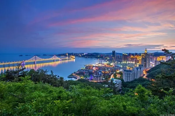
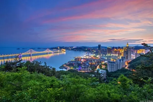
You may not be able to spend so long with the Lhasa River like the locals, but you can also go to Xianzu Island and the river near Tibet University for a walk in the evening to enjoy the beauty of the sunset touching the horizon. What's even better is that there are many restaurants nearby, so you don't have to worry about food and clothing at all.


